


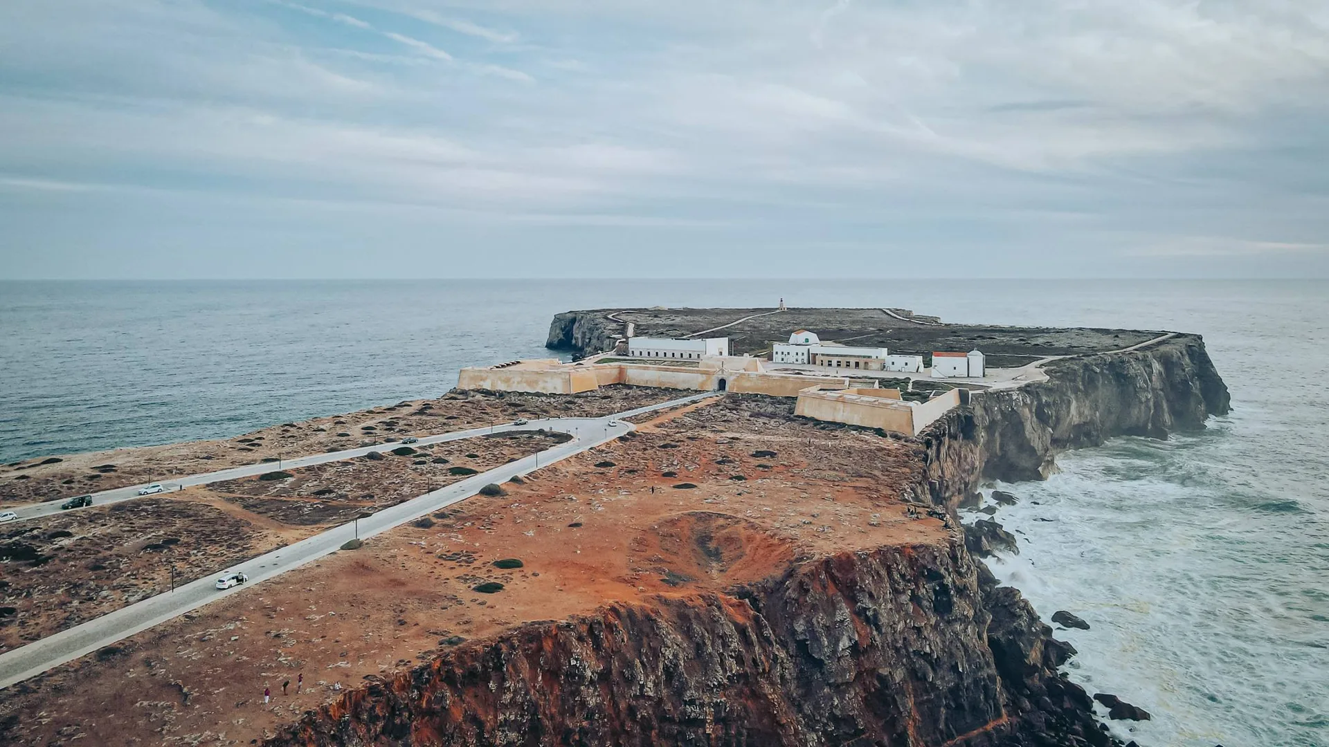
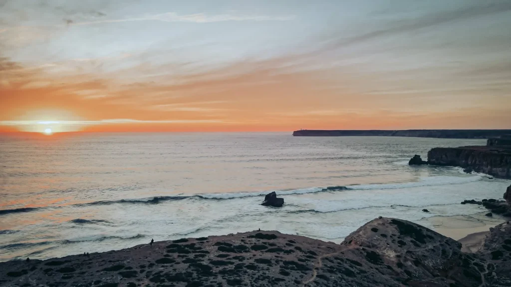
In Sagres, we spent a fair while watching fishermen and wondering how they managed to stand there. They were high on the cliffs with their rods pointing out over the Atlantic, while we were already impressed by the drop from the path. Those headlands and the deep cuts in the rock are what stayed with me.
Caroline and I explored Cape St Vincent and the fortress area. If you are expecting an old town packed with monuments, I would adjust the plan. Here, I would leave time to walk, watch the sea and visit the two separate headlands. They are close together, but they are different places.
Our French-language film follows that outing around Sagres and Cape St Vincent, including the cliffs and fishermen.
Sagres Fortress: leave time for the headland walk
From a distance, the Fortaleza de Sagres seems to close off the entire point. The wall blocks land access, while the cliffs do the rest of the work. From our aerial view, we can clearly understand this layout: behind the entrance, there is a large expanse of land before the end of the promontory. I would therefore plan to wear walking shoes, even if you are just coming to “see the fort”.
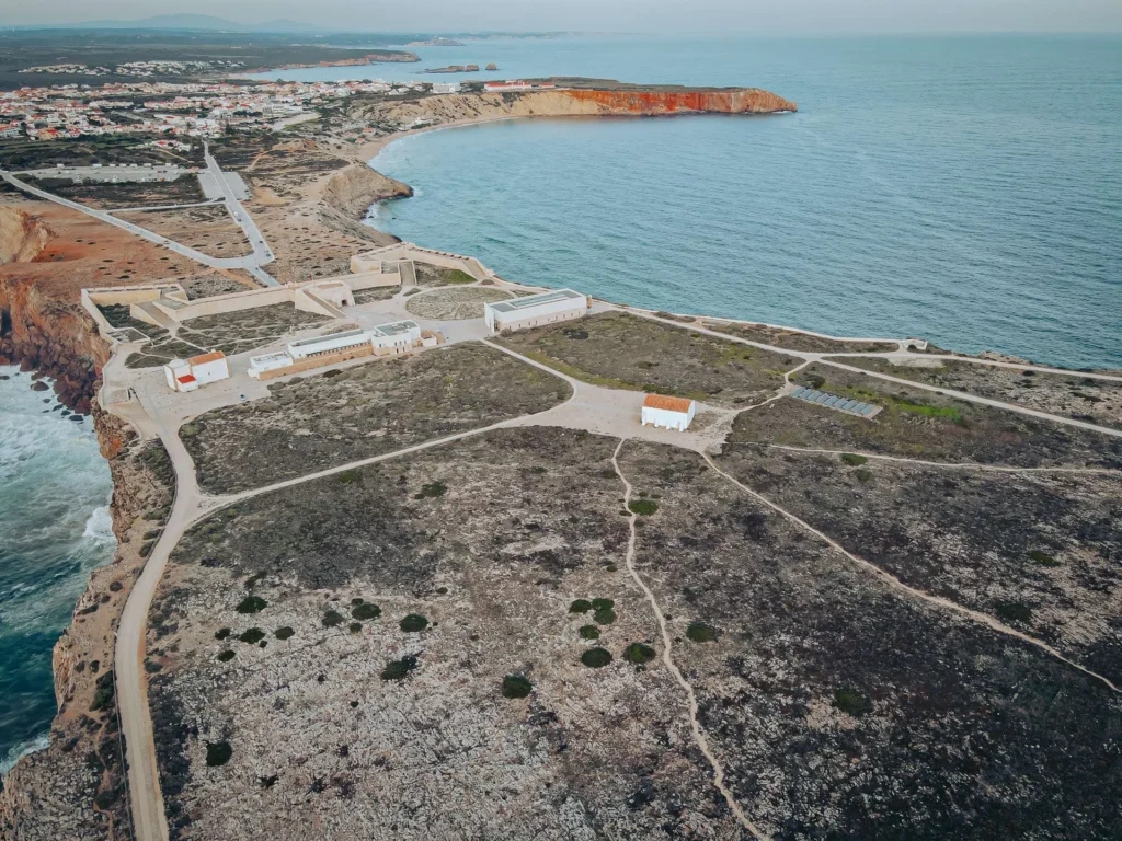
The foundation of the site in the 15th century is associated with Prince Henry the Navigator. The site has changed considerably since then, especially after the earthquake of 1755: the defensive system visible today was largely remodelled at the end of the 18th century. Inside, you can find the church Nossa Senhora da Graça, a cistern, and the large stone circle called Rosa dos Ventos. There is more to the site than its association with maritime departures: the buildings reflect several different periods.
To prepare for entry, check the official fortress visitor information. The standard adult ticket listed when we checked was 10 €, with discounts and free entries depending on the situation. The hours vary with the season. I would schedule the visit early enough to have time to explore the point without checking the time every five minutes.
Cape Saint Vincent: the red lighthouse at the end of the road
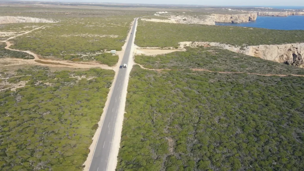
In the film, we start by circling around the Cabo de São Vicente lighthouse, with our usual knack for complicating the simplest names. The white building, its red lantern, and the surrounding walls are indeed at Cape Saint Vincent. The fortress of Sagres is on the other promontory, a few kilometres to the east. Plan for both stops if you want to see the different landscapes from the video.
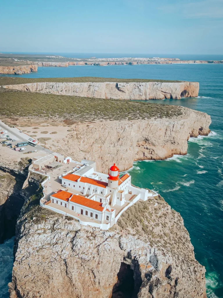
The current lighthouse was established in 1846, under Maria II. It replaced earlier installations, including a tower destroyed during Francis Drake’s attack in 1587. The site has therefore gone through several destructions and reconstructions, long before the installation of the current lantern. The Portuguese Maritime Authority traces the history of the lighthouse and the transformations of its equipment.
The cape marks the southwestern tip of continental Portugal. For the westernmost point of continental Europe, you need to go to Cabo da Roca, near Sintra. Here, the attraction is straightforward: the road ends beside a lighthouse, with the Atlantic in front of you. No need to assign it all the geographical records to appreciate the location.
Keep a windproof layer in your bag, even if the village seems mild. For sunset, arrive before the last minute and spot the way back while it’s still light. The edges of the cliffs are not all protected; a photograph is not worth stepping closer to a drop.
Clifftop fishermen, watched from further back
We see them all along the coast, sometimes perched on ledges where I wouldn’t have imagined standing. In the video, Caroline points out where they are standing and just how high the cliffs are. We also talk about the waves that can rise very high. We spend time following the lines, spotting fishermen against the rock and trying to work out how they got there. That holds our attention more than a long list of activities.
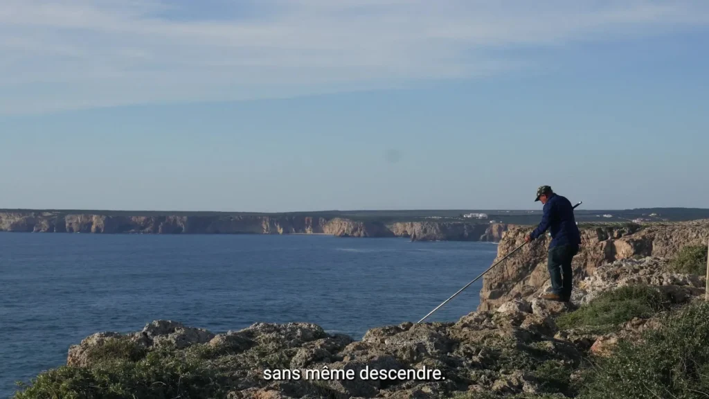
Seeing a fisherman there does not mean there is a suitable walking route to the same spot. Stay on the designated paths, keep away from the edges, and adapt the walk to the wind. With children, I would choose viewpoints where you can look without getting close to the edge. The cliffs are already visible from afar, fortunately for those who prefer to keep a bit of ground under their shoes.
Tonel, Mareta or Beliche: choosing a beach according to your day
The beaches around Sagres face different directions, so you can compare conditions without driving across the Algarve. Tonel is on the west side of the fortress promontory. Mareta forms a bay to the south of the village. Beliche is on the road to Cape Saint Vincent, in a cove dominated by high cliffs. Steps, swell and wind make access and conditions different at each beach, despite how close they are.
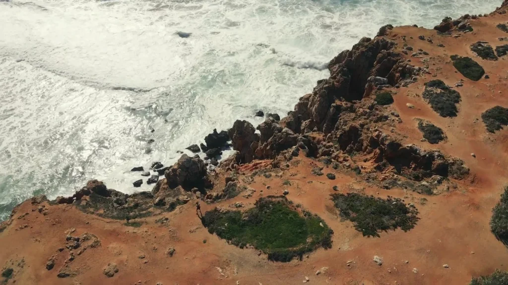
For a break near the centre, I would start with Mareta. To watch surfers, Tonel and Beliche are well-known spots, but the state of the sea matters more than the name of the spot. If you want to try, go through a school and let them choose the location according to your level. For swimming, check the flags and the supervision on site: a bay that seems sheltered can have currents.
You can plan a day with the fortress in the morning, a break in the village, then the cape and a viewpoint at the end of the day. If conditions are poor, shorten the exposed part. For me, wanting to tick off four beaches in addition to the two promontories takes away precisely the time needed to enjoy the area.

We're Caroline and Xavier
We drive to a place, stay long enough to get it wrong a few times, then write the guide we wish we'd had: parking, timing, what's worth the detour.
Ce que vous souhaitez recevoir :
Staying overnight in Sagres with a motorhome
The car parks around the fortress attract motorhomes, but I do not present their locations as a place to freely spend the night. The area belongs to the protected coast of Sudoeste Alentejano and Costa Vicentina. The presence of other vans and the calm of winter do not replace a permit.
The Portuguese Highway Code on overnight stays in motorhomes provides specific restrictions in protected spaces and the relevant coastal areas, except in expressly authorised places. Read the signs at each car park and plan daytime parking and your overnight stop separately. Our article on places to sleep in a motorhome explains the questions that arise upon arrival.
For an equipped solution, Orbitur Sagres announces year-round opening, a motorhome service point and laundry facilities. It is located in the pine forest, north of the village. Ask for the rate for your vehicle, the number of occupants, and the electric hook-up you need before booking.
The map gathers the two promontories, a few beaches, and the camping. Use the markers to plan your route; they do not grant access or permission to stay overnight.
Getting to Sagres, eating out and planning the budget
From the east of the Algarve, the A22 leads to Lagos, then the N125 connects to Vila do Bispo and the N268 descends towards Sagres. The A22 has been toll-free since 1 January 2025; the A2 from Lisbon has not become toll-free. You can therefore cross the Algarve on this highway without paying tolls.
Without a car, prepare for an arrival in Lagos, then a connection by coach to Sagres. There is no train from Lagos to Sagres. Be especially mindful of the last return: the stops in the centre, at the fortress, and at the cape are not interchangeable, and you may end your walk several kilometres from the one you need.
For food, you have more choice in the village and around Baleeira harbour than at the lighthouse. Grilled fish, seafood rice, or burger depending on the address: check the displayed menu and the size of the portions. The budget mainly depends on the meal, accommodation, and activities you add, while walks remain easy to adjust.
If you need a hire car, this box compares car hire across Portugal. Choose your pick-up and return branch for your route.
Compare car hire in Portugal
Compare rental companies and book at the best price.
10% off with code PLANETECAROLOC
Booked on Trip.com — partner link.
Sagres : a glimpse of the weather
5-day forecast
For spontaneous travelers ready to leave tomorrow, here's what to expect this week.
Monthly climate
Between us, we love sunshine and warmth. But not everyone shares our preferences, so here's the climate data to plan according to your wishes.
| Month | Min temp | Max temp | Rain | Weather | Rating |
|---|---|---|---|---|---|
| November | 13°C | 18°C | 116 mm | 🌦️ | |
| December | 11°C | 16°C | 135 mm | 🌦️ | |
| January | 11°C | 15°C | 204 mm | 🌧️ | |
| February | 12°C | 16°C | 111 mm | 🌦️ | |
| March | 12°C | 17°C | 81 mm | 🌦️ | |
| April | 13°C | 19°C | 39 mm | ☀️ | |
| May | 15°C | 21°C | 34 mm | ☀️ | |
| June | 17°C | 23°C | 3 mm | ☀️ | |
| July | 19°C | 26°C | 1 mm | ☀️ | |
| August | 19°C | 25°C | 12 mm | ☀️ | |
| September | 19°C | 27°C | 2 mm | ☀️ | |
| October | 16°C | 23°C | 7 mm | ☀️ |
Continuing to Bordeira or heading inland
If it’s the dunes and the ocean that attract you, our stop at Bordeira nicely extends this trip northward. To change scenery with a castle and an inland town, you can instead prepare the visit to Silves. I would keep these destinations for another stage: Sagres already fills a day when you take the time to walk.
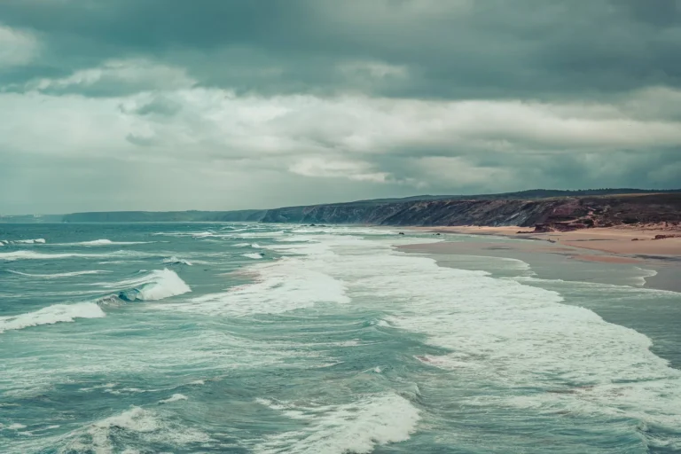
Bordeira Beach: dunes, Atlantic wind and the view we struggled to leave
At Bordeira, reaching the Atlantic involved rather more sand than we had expected... Our memories of the beach, photos and...
Coming soon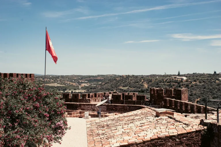
Silves by motorhome: the Algarve’s old capital, uphill from the beaches
Our day in Silves, with the castle, old streets, real photos and a map of motorhome stops. Practical planning for...
Read the guideSagres: practical questions
Can you watch birds around Sagres?
Is Sagres Fortress open every day?
P.S. The fishermen can keep their ledges. I am happy to watch with a bit more ground under my feet.
Portugal, we live here
Two years of full-time van life, and the Algarve as our base ever since. We still hit the road, by van or otherwise, and we write up what we find along the way. An email when we have something to say, no more.
Ce que vous souhaitez recevoir :