Durness and Tongue: the most spectacular NC500 northwest
Let’s be frank: the section Tongue → Durness on the NC500 is probably the most spectacular of our entire Scottish road trip. Caroline says in voiceover: “this stretch of road seems to have been designed exclusively for vanlife. It’s easy, free, and the roads are beautiful. There are countless spots to park, have lunch, or spend the night. The paradox is perfect: you drive peacefully without fearing impassable paths, while feeling alone in the world, right in the heart of the wild.”
Durness is the extreme northwest village of mainland Scotland, located in Sutherland. Only 400 inhabitants, but several major attractions within a 5 km radius: Sangomore Beach, Smoo Cave, Balnakeil Craft Village, and the departure for Cape Wrath. Tongue is located 60 km to the east via the A838, a quieter but equally picturesque village with its Kyle of Tongue and Castle Varrich. This combination of Durness + Tongue covers the NC500 section between John o’Groats to the east and Lochinver to the southwest.
Durness and Tongue : Places we can tell you about
Here's our selection of places in Durness and Tongue: spots we've visited that might be useful to you. Use the list view to discover each address in detail, and export everything to add to Google Maps or your favorite GPS app.
| Place | Address | Download |
|---|---|---|
| Sango Sands Oasis | Sango Sands Oasis, Durness |
| Place | Address | Download |
|---|---|---|
| Smoo Cave | Smoo Cave, Durness | |
| Cape Wrath | Cape Wrath, Sutherland | |
| Kyle of Tongue Causeway | Kyle of Tongue Causeway, Tongue | |
| Faraid Head | Faraid Head, Durness | |
| Tongue Bay viewpoint | Tongue Bay, Sutherland | |
| Loch Eriboll | Loch Eriboll, Sutherland |
| Place | Address | Download |
|---|---|---|
| Balnakeil Craft Village | Balnakeil Craft Village, Durness |
| Place | Address | Download |
|---|---|---|
| Cocoa Mountain | Cocoa Mountain, Balnakeil, Durness |
| Place | Address | Download |
|---|---|---|
| Castle Varrich | Castle Varrich, Tongue |
| Place | Address | Download |
|---|---|---|
| Sangomore Beach | Sango Bay, Durness | |
| Balnakeil Beach | Balnakeil, Durness | |
| Ceannabeinne Beach | Ceannabeinne, Durness |
| Place | Address | Download |
|---|---|---|
| Durness Tourist Information | Durness Village, Sutherland |
| Place | Address | Download |
|---|---|---|
| Durness Petrol Station | Durness, Sutherland |
Durness and Tongue : a glimpse of the weather
5-day forecast
For spontaneous travelers ready to leave tomorrow, here's what to expect this week.
Monthly climate
Between us, we love sunshine and warmth. But not everyone shares our preferences, so here's the climate data to plan according to your wishes.
| Month | Min temp | Max temp | Rain | Weather | Rating |
|---|---|---|---|---|---|
| July | 13°C | 18°C | 98 mm | 🌧️ | |
| August | 12°C | 17°C | 117 mm | 🌧️ | |
| September | 10°C | 15°C | 109 mm | 🌧️ | |
| October | 8°C | 12°C | 203 mm | 🌧️ | |
| November | 4°C | 8°C | 187 mm | 🌧️ | |
| December | 4°C | 8°C | 83 mm | 🌧️ | |
| January | 1°C | 4°C | 139 mm | 🌧️ | |
| February | 2°C | 6°C | 85 mm | 🌧️ | |
| March | 4°C | 9°C | 191 mm | 🌧️ | |
| April | 5°C | 12°C | 107 mm | 🌧️ | |
| May | 7°C | 13°C | 130 mm | 🌧️ | |
| June | 11°C | 16°C | 135 mm | 🌧️ |
City/Country not configured.
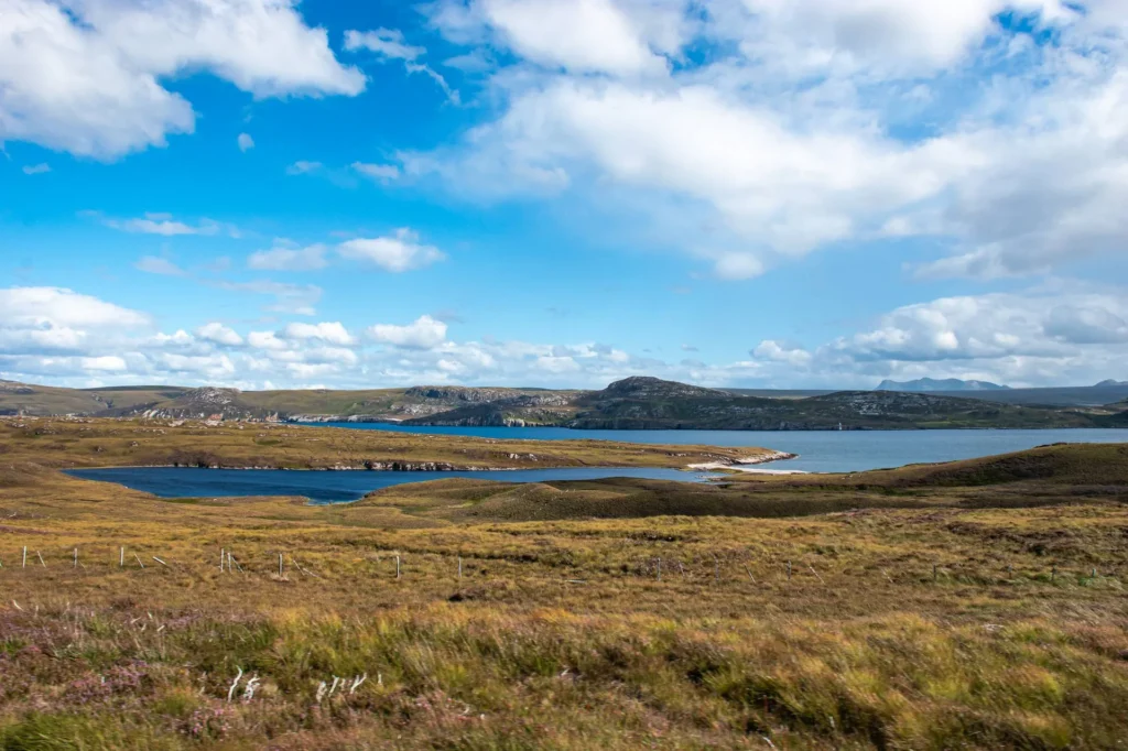
The road between the two villages is a typical snapshot of the extreme northwest of Scotland: single tracks with passing places, landscapes that plunge into the void, endless moors, mountains rising from the clouds. At this point, you really don’t feel like you’re in Scotland; it feels like Iceland, Alaska, the end of the world. (Suddenly, a rainbow appears in the distance. Legend has it that in Scotland, a well or a bucket filled with gold is always hidden at its end. We believed it for 5 minutes, then moved on.)
Sangomore Beach: the paradise beach facing the North Sea
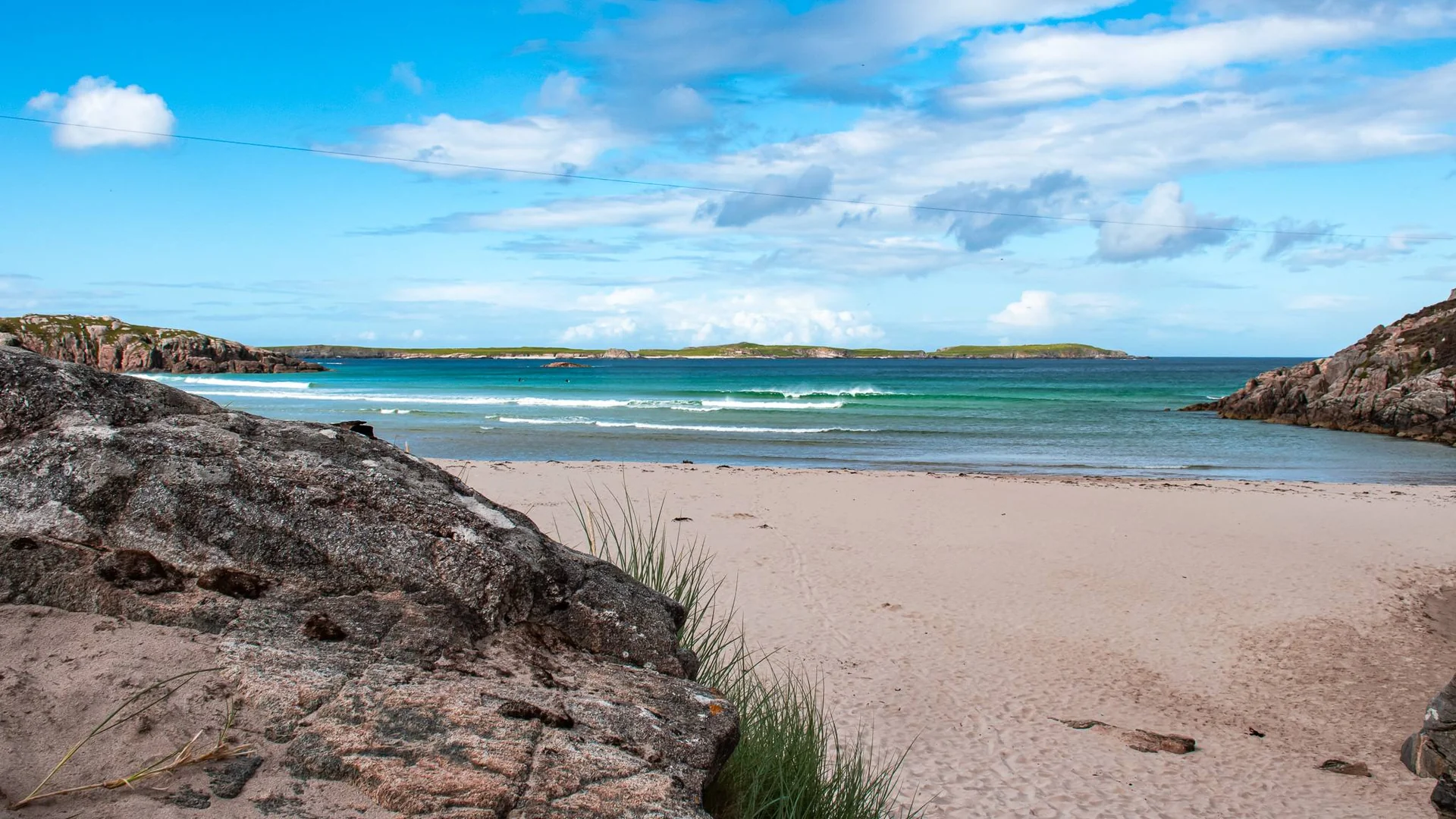
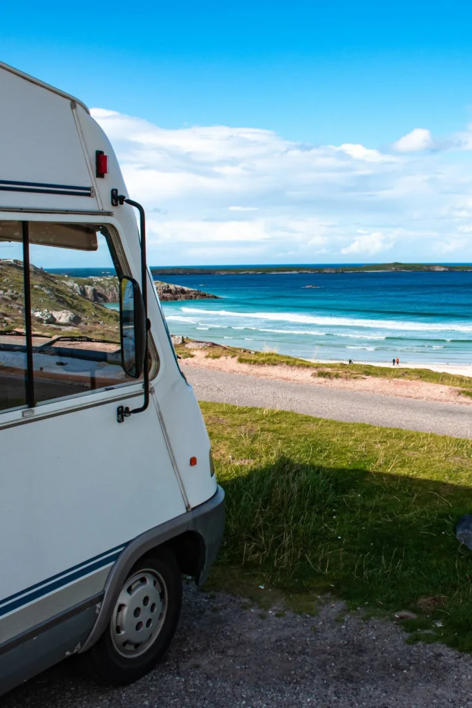
Sangomore Beach, often called Sango Sands, is a beach of striking beauty in the far north of Scotland. White sand, turquoise waters, spectacular cliffs, breathtaking view of the North Sea. Against all odds, we wondered if we had returned to the Algarve or Portugal. Who would have thought there were turquoise waters in the far north? Apparently Scotland, in quite a few places.
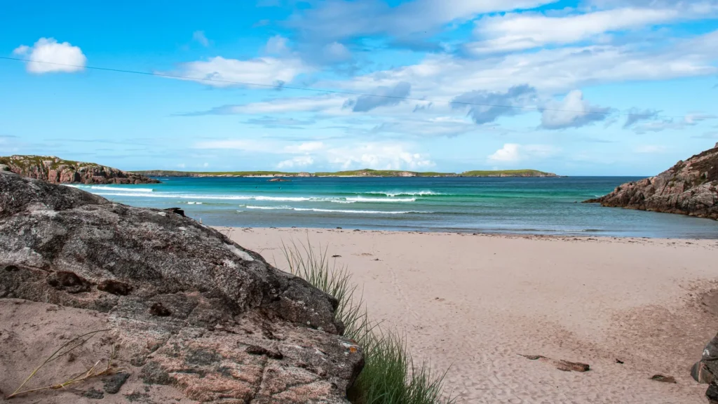
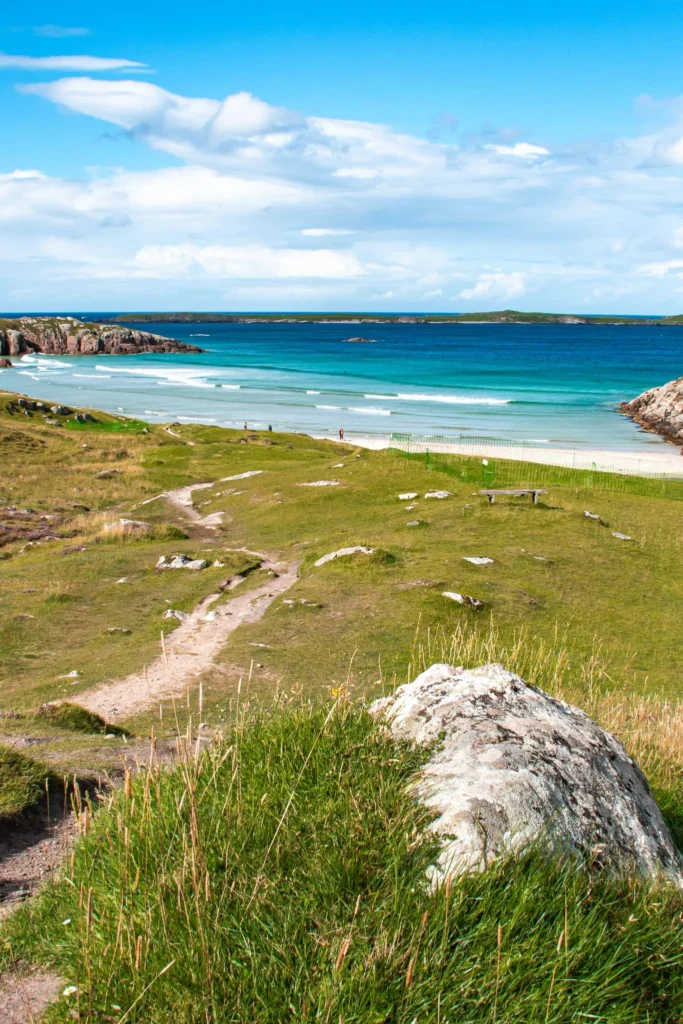
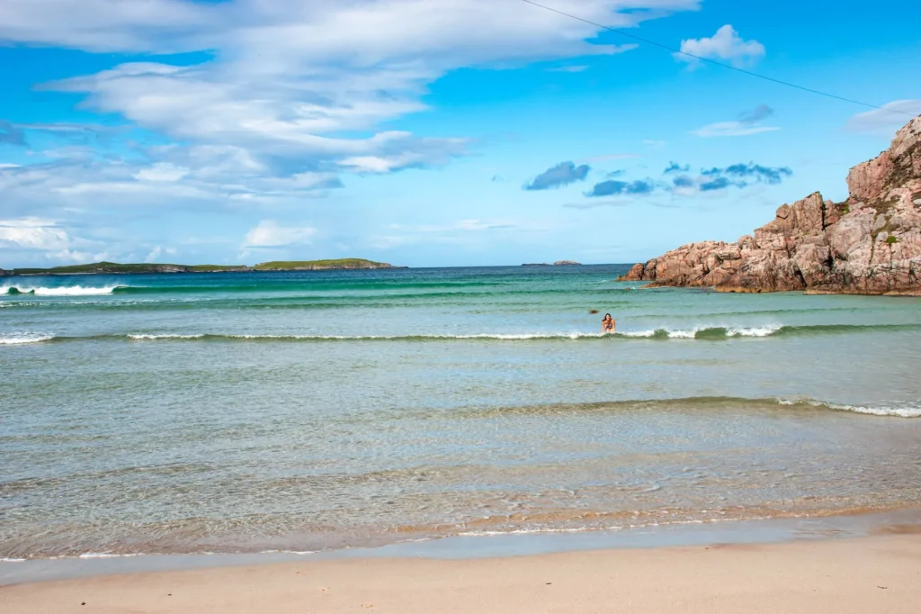
Well, the resemblance to Portugal stops at the water temperature. Caroline attempted a quick swim during a summer break: “we jump into the water and come right back out!”. Water at 10-12°C even during a heatwave. If you attempt the experience, bring a towel + thermal layer before entering the water, and exit within 3-5 minutes max.
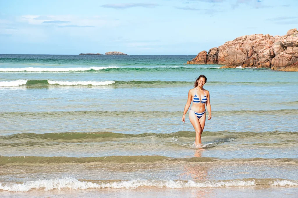
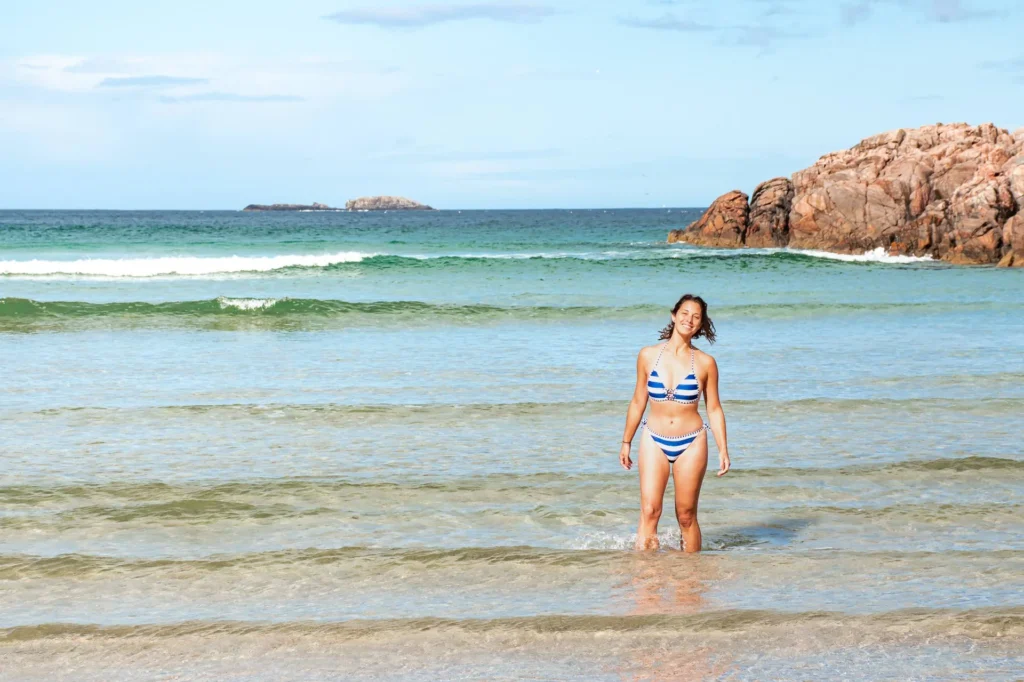
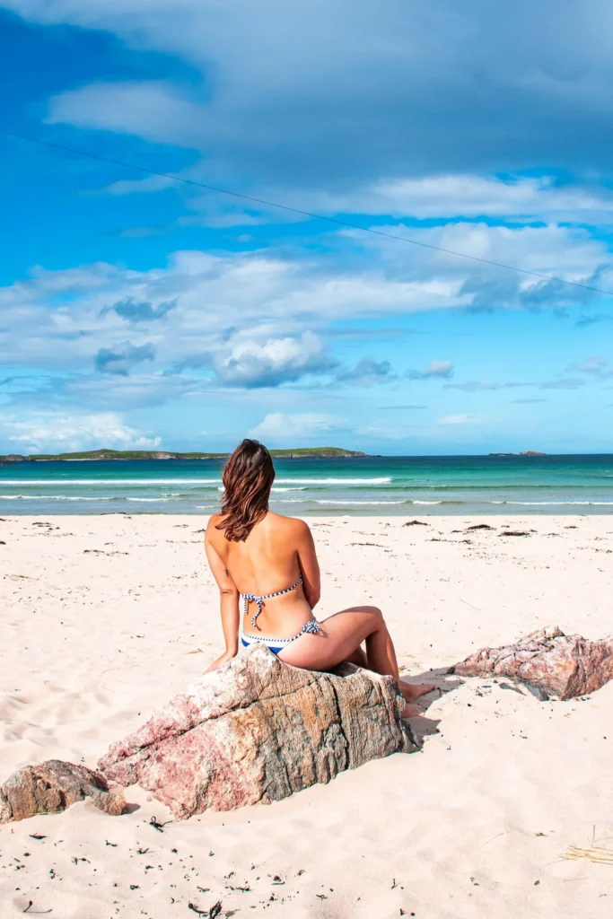
And the Scottish weather did not miss its appointment: “after the sun and rain, the wind would almost join the party, and we would almost brush against snow“. Four seasons in three minutes is typical of the north coast. Enjoy the sun while it’s there; you won’t have it for long. View from the camping site just above (Sango Sands Oasis): simply breathtaking.
Smoo Cave: the iconic sea cave
2 km east of Durness, easily accessible from the main A838 road, you find Smoo Cave. It is one of the most impressive sea caves in Scotland. Unique geological feature: it was carved by the combined action of marine erosion on one side and an underground river on the other. It’s rare enough to be included in geology textbooks.
The main entrance is immense, open to the sea. You descend a few steps from the parking lot, and you find yourself in the outer chamber where light plays with the rock walls. Further in, a 24-meter waterfall drops from a natural well in the ground, the river water joining the sea. It’s spectacular and a bit scary at the same time.
To go further (the inner chamber), boat tours available between April and October, about £8/person, 20 minutes. The experience is worth it if you’re there, but free access to the outer chamber is already enough for a wow moment. Convenient: public toilets at the parking lot, open access 24/7.
Balnakeil Craft Village and Cocoa Mountain
Nestled in former Cold War military installations transformed, Balnakeil Craft Village (2 km west of Durness) is a place out of time. It is now a village of artisans: potters, painters, sculptors, musicians, textile creators. You can find unique local creations and chat with the artists working on-site. A bohemian vibe is guaranteed.
But the real gem of Balnakeil for vanlifers is Cocoa Mountain. The café at the end of the world, famous for its legendary hot chocolate. They roast their own cocoa on-site and handcraft artisanal chocolates. In terms of budget, it’s the undeniable pleasure investment. (We tasted it, we got a second one because we had come from afar; you don’t get to be in the world’s top 1 for hot chocolate every day.)
Right next door: Balnakeil Beach, a white sand beach 2 km west of Durness. Longer stretches than Sangomore, perfect for walking. At the end, the promontory of Faraid Head: 2-hour round trip hike, panoramic view of the beaches and Cape Wrath in the distance.
Cape Wrath and the end of the world
Cape Wrath is the northwesternmost point of mainland Britain. A wild, isolated place that evokes the true end of the world. Access is an adventure of 5-6 hours that starts at Keoldale Pier, 3 km southwest of Durness.
The tour:
- Small ferry to cross the Kyle of Durness (10 minutes, £6 return)
- Specialized minibus for 18 km of rough track to the lighthouse (about 1h45, £18 return)
- Arrival at the lighthouse built in 1828 by Robert Stevenson (the grandfather of the writer)
- Clo Mor cliffs with a dizzying drop of 280 meters, among the highest in the UK
- Café/refreshments in the former keeper’s house, sometimes open (check)
Reservation required from April to October via Cape Wrath Ferry. Note: the area is also a military training ground (Cape Wrath Training Centre), some days the tour is canceled for live fire exercises. Check the day before.

Best UK SIM for a Scotland Road Trip: Highlands, Skye and NC500 Coverage
What internet connection to use during a stay in Scotland? Often questioned by travelers, we explored the various options available in Scotland in this comprehensive article. As always, each solution...
DiscoverTongue and the Kyle of Tongue
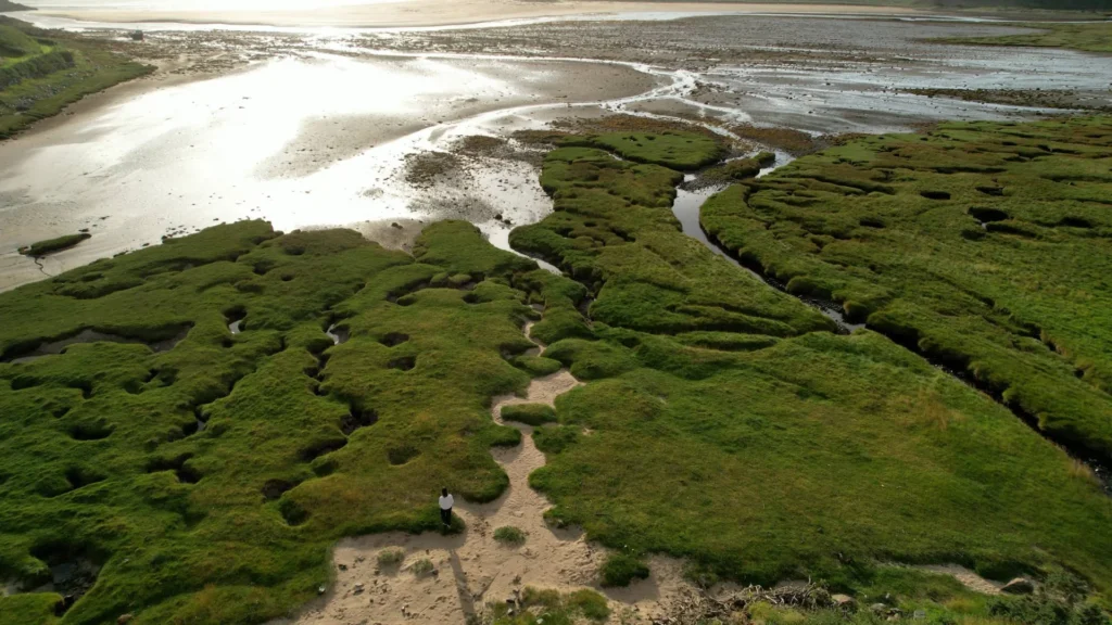
60 km east of Durness via the A838, you will find Tongue, a quieter but equally picturesque village. It is famous for its Kyle of Tongue, a sea arm to the south of which stands a causeway offering stunning views of the Ben Loyal (764m) and Ben Hope (927m, further north).
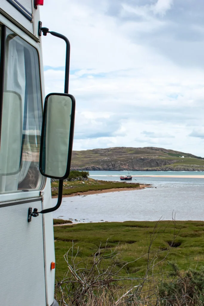
Don’t miss Castle Varrich, a 14th-century ruin perched on the hill just above the village. 30-minute climb from the village via a marked path, free visual reward: panoramic view of 360° over the Kyle of Tongue and the Sutherland mountains.
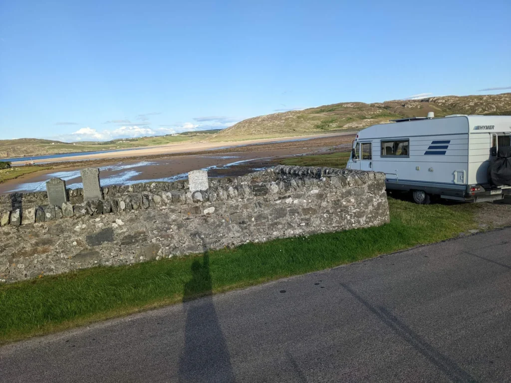
For vanlifers, we settled upon arriving at a vanlife spot near the Tongue cemetery with stunning views of the bay. (With a slight disqualifying hazard that some might judge… well, we’ll let you discover, but it didn’t stop us from sleeping.) Grand decor, you really don’t feel like you’re in Scotland at this spot. Informal spot, no services, but breathtaking panorama.
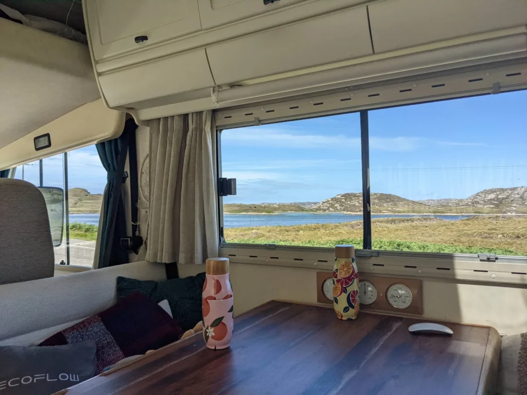
Between Durness and Tongue, you will follow the Loch Eriboll, a deep fjord of 13 km, former naval base of the Royal Navy during World War II (this is where the German fleet surrendered in 1945). Today, it’s a wild and silent landscape, single track along the loch, several informal vanlife spots but respect for the Scottish Outdoor Access Code is mandatory.
Where to sleep in Durness in a camper van (Sango Sands Oasis)
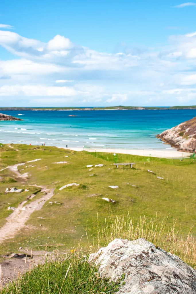
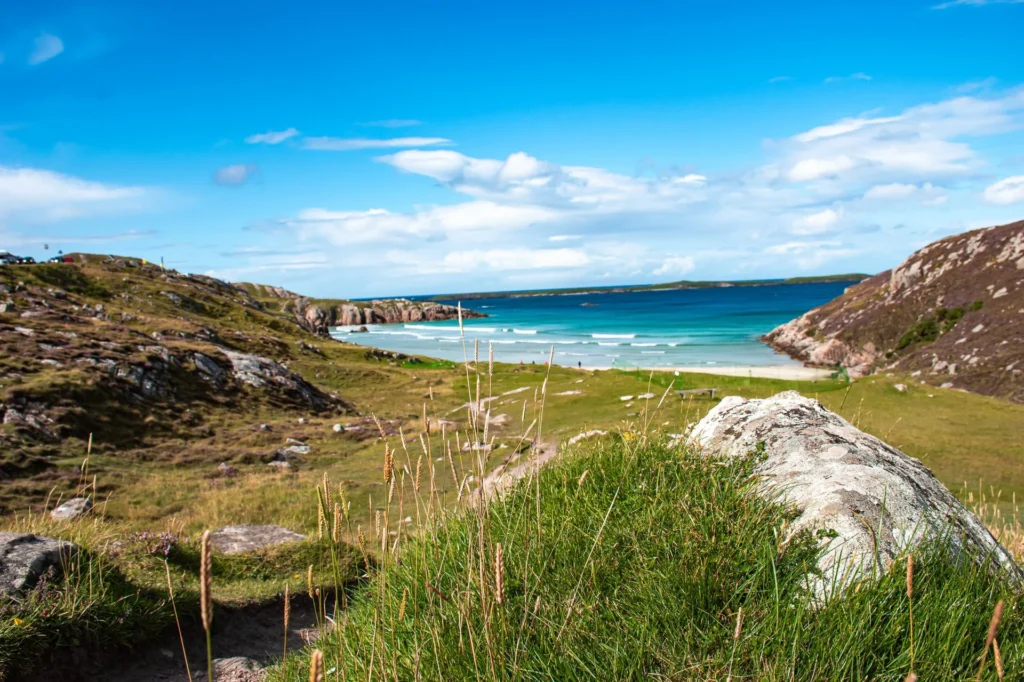
The Sango Sands Oasis Caravan Park is, for us, the campsite with the best view of our entire Scottish road trip. Located on a cliff above Sangomore Beach, it offers a direct panorama of the North Sea and the paradisiacal beach below. When you wake up and open the van’s window, it’s an instant postcard.
- Rate: about £13.50/adult, +£8 for electricity. Off-season (mid-Nov to mid-March): £20 for self-contained vehicle.
- Reservation: pitches with electricity limited to 50/day, to be reserved. Without electricity: first come first served from noon.
- Services: showers included, water, waste disposal, toilets.
- Particularity: extremely windy (secure awning + accessories well). Spot for northern lights on clear nights.
- Informal wild camping: several spots along the A838 road between Durness and Tongue, especially around Loch Eriboll. Respect for the Scottish Outdoor Access Code is mandatory.
- Smoo Cave Hotel: pub-restaurant + rooms for a hard roof option.
- Mackay’s Rooms & Restaurant in Durness: boutique hotel more upscale.
- Tongue Bay viewpoint near the cemetery: informal spot our choice upon arrival, view of Kyle of Tongue, free, no services.
- Kincraig Camping 5 km from Tongue village: camping with basic services.
Practical tips for road trip and vanlife + Twitch live at the end of the world
Midges: public enemy number 1 in summer (July-August) by the lochs and at dusk. Mandatory equipment:
- Smidge (most effective local repellent)
- Head mosquito net (Sea to Summit or Coghlan’s)
- Choose a windy window to go out
Driving: single tracks with passing places omnipresent. Absolute rule: always stop in a passing place to let oncoming traffic pass, NEVER block a passing place to stop and take a photo. If a car is following you and you are driving slowly with a van, pull over in the first passing place.
Ceannabeinne Beach 5 km east of Durness, less frequented than Sangomore, has a recent zip line for adventurers (Golden Eagle Zip Line, about £20-30 depending on the option).
Our Twitch live at the end of the world: on this NC500 stretch, we managed to stream live with 300 people connected, from the moving van. Technical feat given the reduced network coverage: combination of 4G + cellular amplifier + stable GSM spots along the NC500 allowed us to hold the live. For content creators, it’s doable but requires material preparation.
Internet and mobile network: very irregular mobile coverage. For French visitors on a road trip, plan for a UK eSIM Holafly before arriving: no French SIM will connect. Code LAPLANETEDECARO for -5% discount.

FAQ Durness and Tongue on a road trip
Why Durness and Tongue are worth a detour on the NC500?
What is the most beautiful beach in Durness?
Is Smoo Cave worth it?
Where to sleep in Durness in a camper van?
Cape Wrath, how to get there?
Where to eat in Durness?
The Twitch live from the end of the world, what was it?
When to visit Durness and Tongue?
To go further in Scotland
Discovering Lochinver on a road trip and in a van: Complete Guide (Sutherland NC500)
Get ready to be captivated by the fascinating history, culinary specialties, and exciting activities of Lochinver in Scotland during your unforgettable road trip. Join us to discover this charming town...
Read more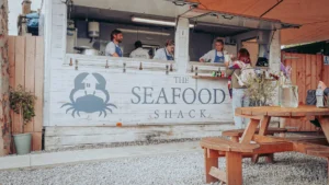
Discovering Ullapool on a road trip and in a van: Complete Guide (NC500 Wester Ross)
Discover our ultimate Road Trip guide to Ullapool in Scotland! Experience a unique blend of exploration, relaxation, and culinary delights. Dive into the fascinating history of this charming town, learn...
Read more
Discovering John o’Groats on a road trip and in a van: Complete Guide
Set off on a Vanlife adventure to John o'Groats! Our comprehensive guide reveals all the culinary specialties, must-do activities, and tips for visiting this Scottish town. Get ready to be...
Read more
Discovering Wick on a road trip and van: Complete Guide
Welcome to Wick! Discover the fascinating history of this Scottish town on an unforgettable road trip. Enjoy the culinary specialties and experience unique moments. Ready for the adventure? Off to...
Read moreIf you enjoyed Durness and Tongue, complete with our Lochinver guide (90 km southwest, a key stop on the NC500 west), our Ullapool stop and its Seafood Shack, and our arrival at John o’Groats (75 km east of Tongue, the other end of the world of the NC500).