


Twenty-two Swiss francs each for a ride in a tiny cable car. We stood there wondering whether the view would be worth it, doing the sort of calculation that always ends up involving the price of lunch. A few minutes later, Lake Lucerne appears beneath our feet. We continued walking in the forest, found a yellow bench and eventually reached a viewpoint that put our mental arithmetic on hold.
Most of our footage follows the lake and the mountains around Brunnen and Gottertli. Lucerne is another part of the journey: I’d plan the old town as a separate visit before choosing an excursion. The Entlebuch, which we also explored, deserves its own travel time.
For a trip from the UK, decide first whether you’re bringing your own motorhome after a Channel crossing or flying and continuing by rail. Look up the complete journey to Lucerne and your accommodation. Brunnen, Urmiberg and Entlebuch need their own travel plans; being beside the same lake does not make them city-centre stops.
Visit Lucerne: the Chapel Bridge and the old town
Lucerne, or Luzern in German, is located at the western end of Lake Lucerne. The Reuss flows out of the lake and crosses the city. For a first visit, you can start from the water’s edge, reach the Chapel Bridge, and then continue through the streets of the old town. This urban route is best prepared on foot; hikes around the lake come later.
The Kapellbrücke has not remained intact since the Middle Ages
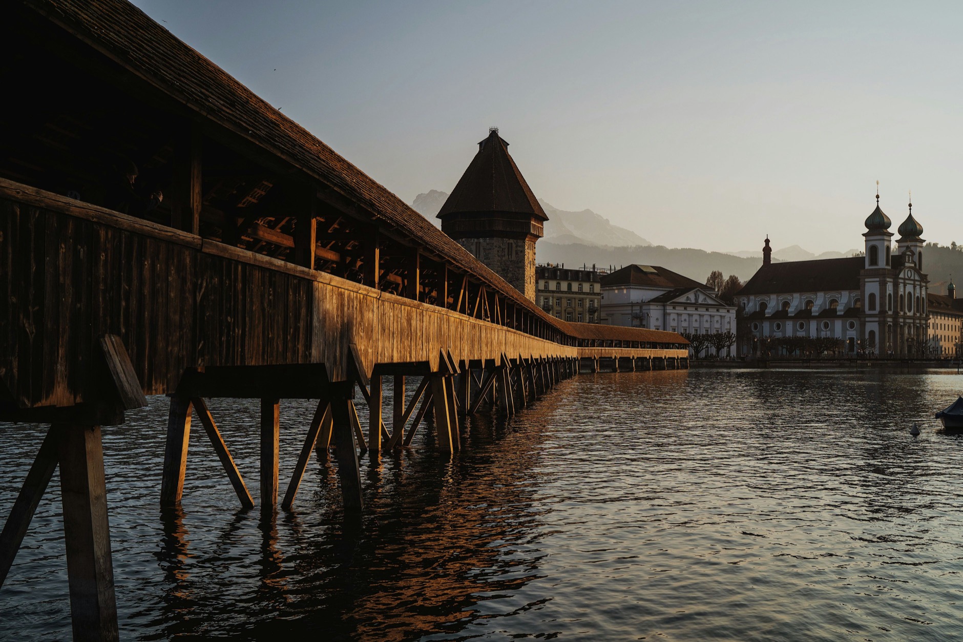
The Chapel Bridge, Kapellbrücke, is the covered wooden bridge associated with the octagonal tower of Lucerne. Under the roof, the painted panels tell historical and religious episodes. You can take a photo from the shore, then cross while looking at what is above your head.
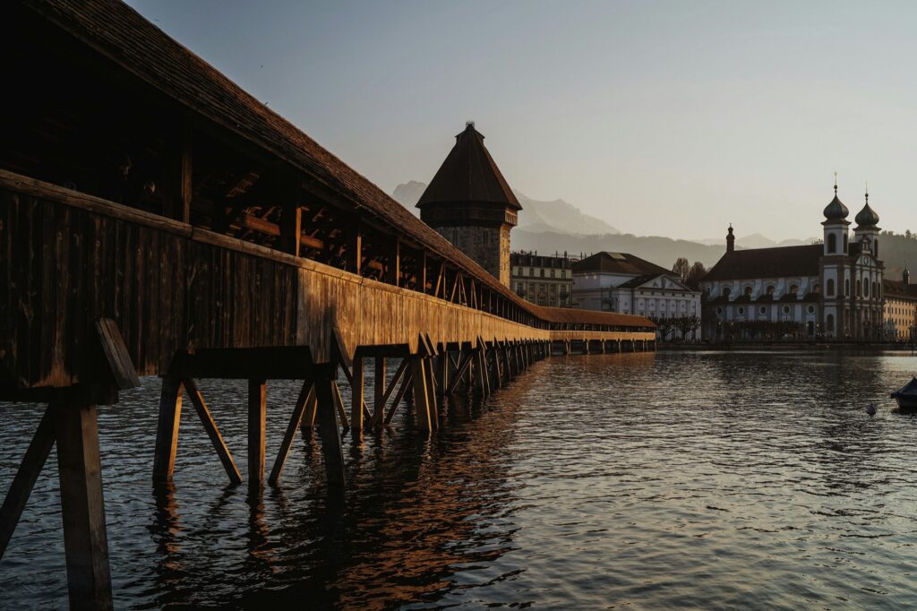
This photo of the centre of Lucerne, by Ilia Bronskiy, was already in our media library; our own images below relate to the excursion around the lake. The historical account from Lucerne Tourism reminds us that a large part of the bridge burned down in August 1993. The reconstruction allowed for a reopening in April 1994, while many panels had been lost or damaged. The bridge you see today also carries this recent history.
The water tower is older than the bridge and has had several functions, including surveillance. Its name does not refer to a modern water tower. Those are useful details to look for as you cross, without requiring a long guided tour.
The Lion of Lucerne, a link to the history of France
The Lion monument commemorates the Swiss Guards who died during the storming of the Tuileries in Paris on August 10, 1792. The project by Bertel Thorvaldsen was inaugurated in 1821. The lion carved into the rock commemorates men who served the King of France.
You can add it to a half-day in the centre, keeping time to reach the site from the banks of the Reuss. After that, I’d leave time for a break before adding more visits. A city, a lake, and a mountain quickly make three different plans.
Lake Lucerne: understanding the landscape before touring it
In the video, we talk about a lake that could resemble a fjord. The impression comes from its arms, steep shores, and mountains framing the water. The landscape is linked to the work of glaciers; it is not an inlet from the sea. Its German name, Vierwaldstättersee, refers to the four historical territories of Lucerne, Uri, Schwyz, and Unterwald.
Today, the division between Obwald and Nidwald can make the term “four cantons” a bit confusing. The name retains the historical reference to the Unterwald.
For your journey, first choose the shore or the excursion departure that interests you. Brunnen is not located in the centre of Lucerne. Driving around the lake, reaching a cable car and walking in the mountains all take time. A boat can connect parts of the journey, but check how the timetable fits with the cable car and your return.
Our ascent from Brunnen: Urmiberg and Gottertli
We spotted the cables above the lake and decided to see what was up there. The fare announced in our video was 22 CHF per person. We get into the small red cabin, Caroline films, and the houses start to shrink behind the windows. We’re already joking about the descent… That’s the serenity of great explorers.
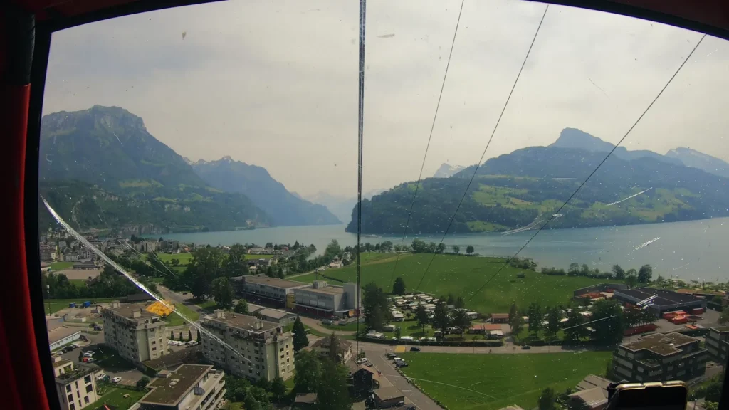
This is the Brunnen–Urmiberg cable car, at the eastern end of the Rigi massif. The cabin reaches the Timpel area. Higher up, our hiking sign clearly indicates the Gottertli, at 1,396 metres. These are the names to look for to find the walk; we did not ascend to Pilatus or Rigi Kulm in this episode.
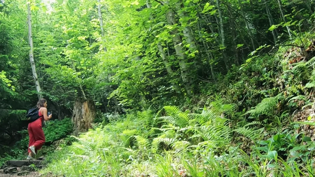
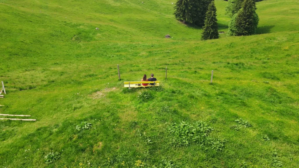
Upon arrival, we see cows on the slopes and continue into the forest. We hear their bells, take photos and find a yellow bench overlooking the lake. The original photographs taken that day allow us to recall this pause without moving it to another valley.
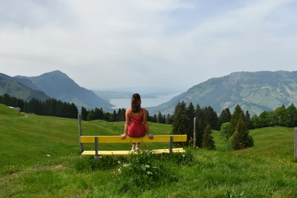
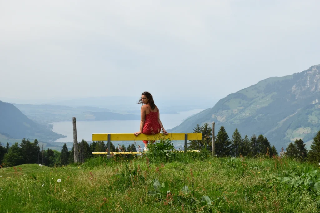
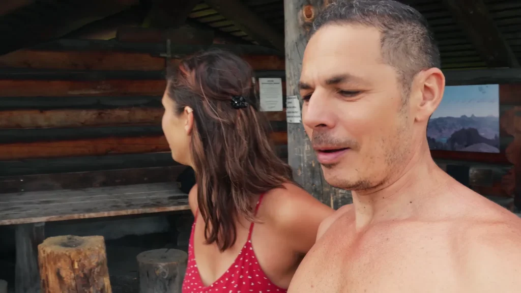
The path continues to ascend. We pass by a shelter with a table, wood, and a space for making a fire, then follow the sign towards the viewpoint and orientation panel. The last stretch seems short on the sign, but we take the time to watch where we walk. From the top, successive mountain ridges overlap, with branches of the lake between them.
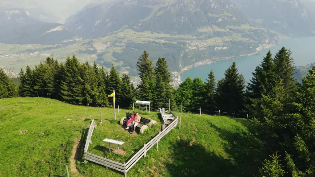
The small lake visible on the other side belongs to the landscape of Lauerz. On the Lake Lucerne side, the Urnersee arm stretches between the mountains. By staying a little longer, you begin to see how the waterways and ridges shape the routes through this landscape.
Preparing the same outing today
The site of the Brunnen–Urmiberg operator currently lists 22 CHF for the round trip for adults and explains how the service operates. It also mentions cash payment at the top station and possible interruptions in bad weather. These are details to review before departure, even if the price resembles that of our trip.
Bring water, suitable shoes, and clothing for changing weather. The cabin saves you part of the elevation gain; it does not make all paths easy. Check your itinerary, the last departure, and visibility before buying the ticket. We had enough visibility to enjoy the views, which made a big difference to the walk.
The Entlebuch, another stop west of Lucerne
We then drove through Entlebuch, between hills, farms, and pastures. Caroline said she was amazed by the road and the small chalets. At our first stop we checked the connection for work, then moved when we realised the car park wasn’t free. The scenery had changed, but our little routine as working travellers remained the same.
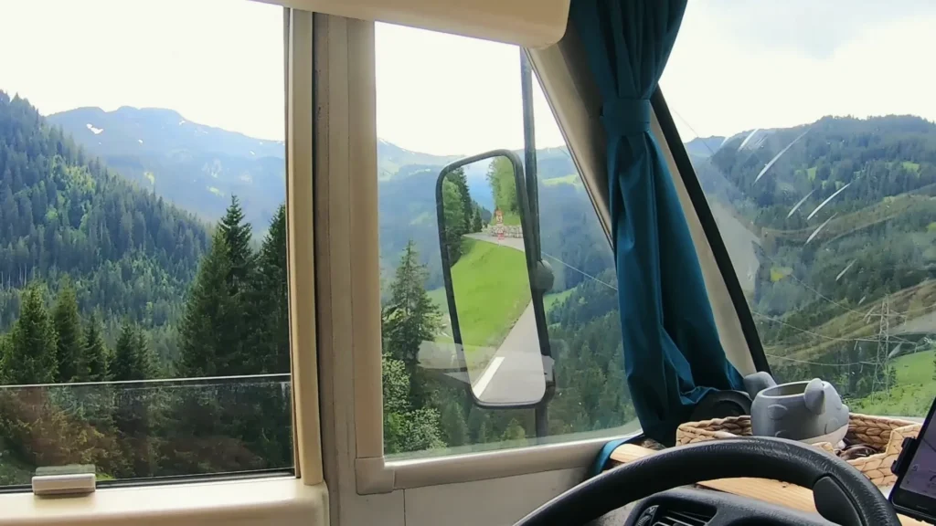
We spent a quiet night beside the fields and cows. The next day, we set out to walk and find the ground much wetter than it looks. The ground is soft, some areas are marshy, and some of our footwear isn’t up to it. We end up cutting this walk short. It’s a more useful memory than a promise of an easy hike for everyone.
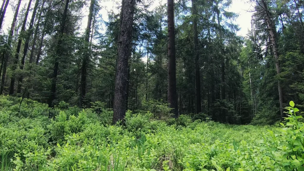
The Entlebuch has been a UNESCO biosphere reserve since 2001. Peat bogs, forests, and limestone hills are part of a landscape where people live and work. The classification does not mean that the entire region is a wilderness area or that you can camp everywhere. For walking, the designated paths also protect fragile environments; stay on the designated routes.
In Marbach, we find another starting point, with bikes, paragliders, and a lift to Marbachegg. This time, we discuss the 50 Swiss francs we spent on the ascent. At the top, we discover the ridges, the Bernese Alps in the distance, and well-maintained picnic facilities. The images from Marbachegg belong to this second excursion, not to the ascent of the Gottertli.
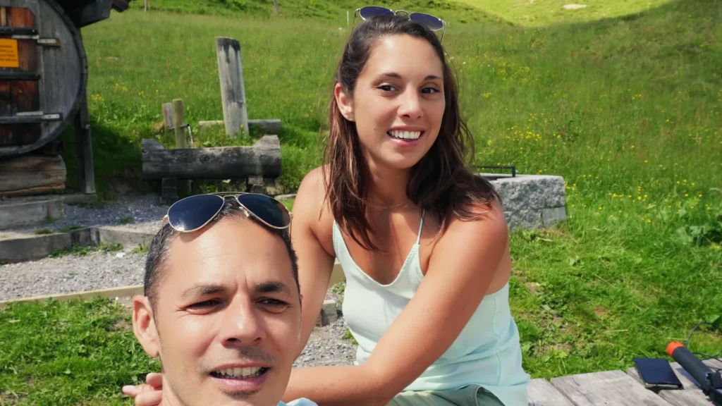

We're Caroline and Xavier
We drive to a place, stay long enough to get it wrong a few times, then write the guide we wish we'd had: parking, timing, what's worth the detour.
Ce que vous souhaitez recevoir :
Campsites near Lucerne and planning the budget
For an urban base, Lucerne Tourism lists the Lido campsite, near the lake, and the TCS Camping Lucerne-Horw. These are current campsite options to compare; we are not claiming to have stayed at them. Ask about availability, services, and routes to the centre. The official camping directory helps distinguish the sites close to the city from those located elsewhere in the region.
The mountain parking places in our footage are separate from Lucerne itself. To find an authorised spot on the date of your trip, cross-reference the signs, the potential operator, and recent feedback. Our motorhome apps serve as preparation, not reservation or general authorization.

The apps we really have on the phone (and those that are dormant)
In this article, we will present the mobile applications that we use on a daily basis. Apps to find places...
Read the guideIn the budget, separate the night, the trips, and the lifts. We paid separately for the two cable-car outings; if you add a boat or a museum, the total changes again. The rates from our trip provide context, not a quote for your stay.
Quota RapidAPI dépassé (limite par minute/mois). Réessayez plus tard.
Compare hotels in Lucerne
When to come and how to continue the road trip?
For a day in the mountains, check the forecast at altitude and the opening of facilities, not just the temperature in Lucerne. In spring, we had flowers near the paths and still snow on the peaks. A view taken that day is not enough to announce a dry trail all season.
Lucerne : a glimpse of the weather
5-day forecast
For those who love last-minute adventures, here's what the weather has in store.
Monthly climate
Personally, we always choose warm and dry periods. But everyone has their ideal weather! Here's the info to make your choice.
| Month | Min temp | Max temp | Rain | Weather | Rating |
|---|---|---|---|---|---|
| November | 2°C | 8°C | 133 mm | 🌦️ | |
| December | 0°C | 4°C | 14 mm | ⛅ | |
| January | -2°C | 4°C | 53 mm | ❄️ | |
| February | 2°C | 9°C | 154 mm | 🌧️ | |
| March | 1°C | 11°C | 114 mm | 🌦️ | |
| April | 5°C | 17°C | 50 mm | ☀️ | |
| May | 9°C | 20°C | 127 mm | 🌦️ | |
| June | 15°C | 26°C | 114 mm | 🌦️ | |
| July | 17°C | 28°C | 84 mm | 🌦️ | |
| August | 18°C | 28°C | 148 mm | 🌦️ | |
| September | 14°C | 23°C | 32 mm | ☀️ | |
| October | 9°C | 15°C | 150 mm | 🌦️ |
If you continue towards Lake Geneva, distinguish Lausanne and its sloping neighbourhoods from Montreux, where Caroline returns to her former workplace. Plan a road stop between the regions rather than treating all these lakes as a single area.
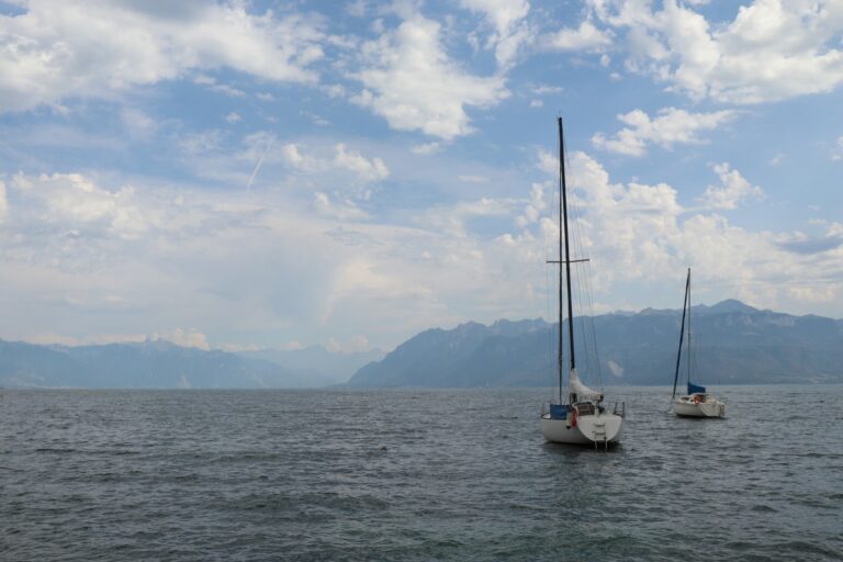
Lausanne by motorhome: Ouchy, the old town and the hills between
Plan a day in Lausanne between the cathedral and Ouchy, with Vidy campsite, local transport and a clearly separate Montreux...
Read the guide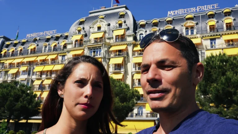
Montreux by motorhome: Caroline’s return to Lake Geneva
Return to Montreux with Caroline: her former workplace, Freddie Mercury and the casino, plus our separate fondue stop in Château-d’Œx.
Read the guideLucerne and the excursions on the map
The centre of Lucerne, Brunnen, the Gottertli, and Marbachegg are marked separately to prepare the routes. The map does not replace a hiking map on the trails.
For a UK mobile plan, check Switzerland explicitly in your provider’s roaming list and check the allowance attached to your particular tariff. Don’t assume that a European roaming offer includes Switzerland. Download the maps you need before leaving reliable Wi-Fi.
Lucerne: useful questions
What can I do in Lucerne if rain rules out the mountains?
Does the Swiss Half Fare Travelcard work on the Urmiberg cable car?
Which local names should I save for maps and timetables?
PS: we wanted a good view for the cable-car fare. On that part of the bargain, we got our answer.
The next route, straight to your inbox
Two years of full-time van life, and the Algarve as our base ever since. We still hit the road, by van or otherwise, and we write up what we find along the way. An email when we have something to say, no more.
Ce que vous souhaitez recevoir :